Norðurpóllinn
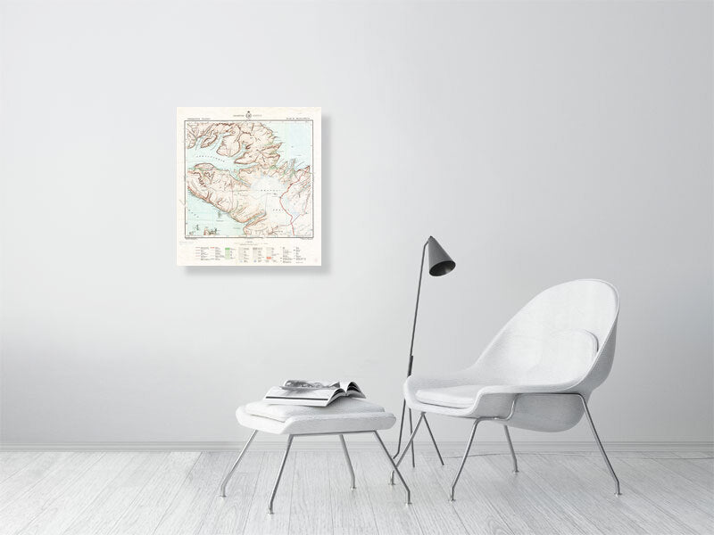
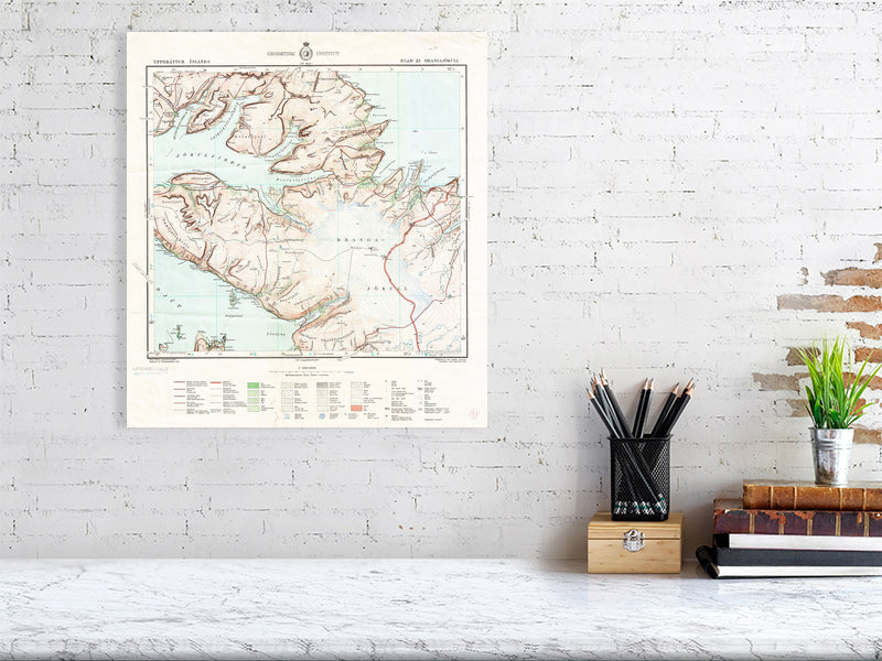
Drangajokull
Drangajokull
Map #21, Drangajökull.
Printed on Hahnemühle Bamboo 290 gsm fine art paper.
In 1902, Danish authorities send out an expedition to survey and update inaccurate and much older maps of Iceland. This work was conducted over the course of 15 years and resulted in 117 detailed maps of a third of Iceland; south and west side of the island, in 1:100.000 scale. They're commonly referred to as the Herforingjaráðskort, the maps of the General Council, to honour the Danish generals who were responsible for their creation.
Please note that the scale of the larger map is somewhat close to accurate, but the smaller one is very far from it. These maps are nowadays meant for display, not navigation.
Landmælingar Íslands, The National Land Survey of Iceland, digitised the maps and published under a Creative Commons 4.0 License.
Couldn't load pickup availability
Share